Brock Island
Uninhabited island in the Northwest Territories, Canada
77°51′N 114°27′W / 77.850°N 114.450°W / 77.850; -114.450 (Brock Island)
Arctic Archipelago
Canada
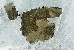
Brock Island is one of the uninhabited members of the Queen Elizabeth Islands of the Arctic Archipelago located in the Northwest Territories, Canada. Located at 77°51'N 114°27'W, it measures 764 km2 (295 sq mi) in size and lies close to Mackenzie King Island. The first known sighting of the island by a European was by Vilhjalmur Stefansson in 1915 and it was later named for Reginald W. Brock, Dean of Applied Science at the University of British Columbia.[1]
References
- ^ Stefansson, Vilhjalmur (1922). The Friendly Arctic: The Story of Five Years in Polar Regions. New York: Macmillan.
External links
- Brock Island in the Atlas of Canada - Toporama; Natural Resources Canada
- v
- t
- e
- Ellesmere
- Ward Hunt Island
| major |
|
|---|---|
| minor |
|
| major | |
|---|---|
| minor |
|
 | This Canadian Northwest Territories location article is a stub. You can help Wikipedia by expanding it. |
- v
- t
- e


