Kokpekti District
District in Abai Region, Kazakhstan

Coat of arms
 Kazakhstan
 (2023)
Kokpekti (Kazakh: Көкпекті ауданы, romanized: Kökpektı audany) is a district of the Abai Region in eastern Kazakhstan. The administrative center of the district is the village of Kokpekti.[2]
History
Through a Decree of the President of the Republic of Kazakhstan, Samar District of East Kazakhstan Region was established in May 2022. The area of the village of Samar, its administrative center, was segregated from Kokpekti District.[3]
Geography
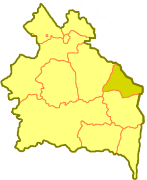
The district borders on Zharma District in the west, Aksuat District in the south, and Ulan District, Samar District and Kurshim District in the north and east.
The relief of the territory of the district is mainly hilly, in the north - mountainous (Kalbinsky ridge), in the south - the northern part basins of Lake Zaisan. The highest point of the region is Mount Karazhal (1,606 m).[4]
References
- ^ "Дильдабек Оразбаев назначен акимом Кокпектинского района". dknews.kz. 2022-06-30.
- ^ "www.geonames.de Subdivisions of Kazakhstan in local languages". Archived from the original on 2016-03-03. Retrieved 2008-04-21.
- ^ Правовые акты Указы - О некоторых вопросах административно-территориального устройства Республики Казахстан
- ^ "Кокпектинский район". kray.pushkinlibrary.kz.
- v
- t
- e
Abai Region
Capital: Semey
- Abay
- Aksuat
- Ayagoz
- Beskaragay
- Borodulikha
- Kokpekti
- Makanshi
- Urzhar
- Zhanasemey
- Zharma

48°45′27″N 82°22′54″E / 48.75750°N 82.38167°E / 48.75750; 82.38167
 | This Kazakhstan location article is a stub. You can help Wikipedia by expanding it. |
- v
- t
- e


