Oregon Route 228
Highway in Oregon
 OR 99E in Halsey
 I-5 near Halsey
 US 20 in Sweet Home
←  OR 227 OR 227 | →  OR 229 OR 229 |
Oregon Route 228 is an Oregon state highway that runs between the city of Halsey in the Willamette Valley and the city of Sweet Home in the Cascade foothills. The highway is also known as the Halsey-Sweet Home Highway No. 212 (see Oregon highways and routes), and is 21 miles (34 km) long. It lies entirely within Linn County.
Route description
Oregon Route 228 begins at its junction with Oregon Route 99E in Halsey. It heads east from there, crossing Interstate 5 approximately 2 miles (3.2 km) to the east, then passing through the city of Brownsville. The highway continues to the east, ending at an intersection with U.S. Route 20 in Sweet Home.
Major intersections
The entire route is in Linn County.
| Location | mi[1] | km | Destinations | Notes | |
|---|---|---|---|---|---|
| Halsey | 0.00 | 0.00 | OR 99E – Harrisburg, Tangent, Junction City, Albany | ||
| | 2.40 | 3.86 | I-5 – Albany, Eugene | ||
| Sweet Home | 21.40 | 34.44 | US 20 – Foster Lake, Lebanon, Albany, Bend | ||
| 1.000 mi = 1.609 km; 1.000 km = 0.621 mi | |||||
Gallery
-
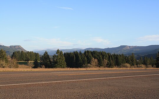 Oregon Route 228 near Holley, Oregon
 -
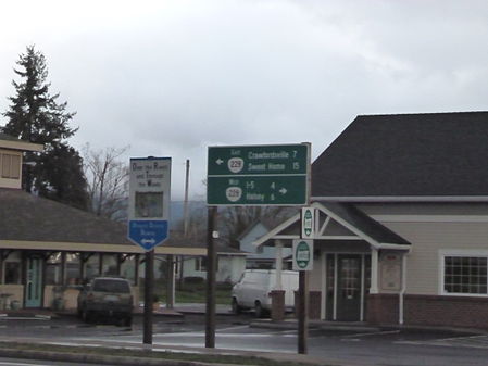 Oregon 228 Directional sign
 -
 Crawfordsville Covered Bridge along Oregon 228


References
KML file (edit • help)
Template:Attached KML/Oregon Route 228
KML is not from Wikidata
- ^ a b "HALSEY–SWEET HOME HIGHWAY No. 212" (PDF). Oregon Department of Transportation. Retrieved December 4, 2020.


