Manaratsandry

Cet article est une ébauche concernant une localité malgache.
Vous pouvez partager vos connaissances en l’améliorant (comment ?) selon les recommandations des projets correspondants.
| Manaratsandry | |||
| Administration | |||
|---|---|---|---|
| Pays |  Madagascar Madagascar | ||
| Région | Boeny | ||
| Province | Mahajanga | ||
| District | Marovoay | ||
| Démographie | |||
| Population | 20 000 hab.[1] (est. 2001) | ||
| Géographie | |||
| Coordonnées | 16° 11′ 00″ sud, 46° 30′ 00″ est | ||
| Altitude | 30 m | ||
| Localisation | |||
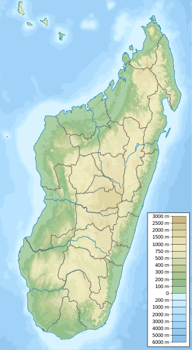
| Géolocalisation sur la carte : Madagascar
Géolocalisation sur la carte : Madagascar
| |||
modifier  | |||


Manaratsandry est une commune urbaine malgache située dans la partie centre de la région de Boeny.
Géographie

Cette section est vide, insuffisamment détaillée ou incomplète. Votre aide est la bienvenue ! Comment faire ?
Démographie
Cette section est vide, insuffisamment détaillée ou incomplète. Votre aide est la bienvenue ! Comment faire ?
Économie
Cette section est vide, insuffisamment détaillée ou incomplète. Votre aide est la bienvenue ! Comment faire ?
Notes et références
- ↑ (en) The Commune Census of by the Ilo program of Cornell University in collaboration with FOFIFA and INSTAT
Voir aussi
Articles connexes
- Boeny
v · m Districts et communes du Boeny | ||
|---|---|---|
| Ambato-Boeny |  | |
| Mahajanga I | Mahajanga | |
| Mahajanga II | ||
| Marovoay |
| |
| Mitsinjo | ||
| Soalala | ||
 Portail de Madagascar


