Saint-Pierre-d'Arthenay

Cet article est une ébauche concernant la Manche et une ancienne commune de France.
Vous pouvez partager vos connaissances en l’améliorant (comment ?) selon les recommandations des projets correspondants.
| Saint-Pierre-d'Arthenay | |||||
 Église Saint-Pierre | |||||
| Administration | |||||
|---|---|---|---|---|---|
| Pays |  France France | ||||
| Région | Normandie | ||||
| Département | Manche | ||||
| Arrondissement | Saint-Lô | ||||
| Commune | Le Hommet-d'Arthenay | ||||
| Intercommunalité | Saint-Lô Agglo | ||||
| Statut | Ancienne commune | ||||
| Code postal | 50620 | ||||
| Démographie | |||||
| Gentilé | Saint-Pierrots | ||||
| Géographie | |||||
| Coordonnées | 49° 11′ 26″ nord, 1° 11′ 12″ ouest | ||||
| Élections | |||||
| Départementales | Pont-Hébert | ||||
| Historique | |||||
| Fusion | 1831 | ||||
| Commune(s) d'intégration | Le Hommet-d'Arthenay | ||||
| Localisation | |||||
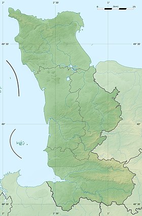
| Géolocalisation sur la carte : France
Géolocalisation sur la carte : France
Géolocalisation sur la carte : Manche
Géolocalisation sur la carte : Manche
| |||||
modifier  | |||||


Saint-Pierre-d'Arthenay est une ancienne commune de la Manche.
Histoire
Elle fusionne en 1831 avec Le Hommet pour former la commune du Hommet-d'Arthenay
Population
| 1793 | 1800 | 1806 | 1821 | 1831 |
|---|---|---|---|---|
| 564 | 525 | 636 | 661 | 695 |
Administration
Circonscriptions administratives avant la Révolution
- Généralité : Caen
- Élection : Carentan et Saint-Lô en 1612/1636, Carentan en 1677, Saint-Lô en 1713
- Sergenterie : Le Hommet
Religion
Circonscriptions ecclésiastiques avant la Révolution
- Diocèse : Coutances.
- Archidiaconé : Val de Vire.
- Doyenné : Le Hommet.
Annexes
Notes et références
 Portail des communes de France
  Portail de la Manche


